Delicate Arch is the most recognizable geological formation in the United States, and it is not visible from any road in Arches National Park. The only way to see it is to hike 1.5 miles from Wolfe Ranch Trailhead over open, exposed slickrock until the trail crests a final ridge and the arch appears on the canyon rim. Nothing prepares you for the scale of it: 52 feet (16 m) tall, with an opening wide enough to frame the La Sal Mountains 30 miles behind it.
The hike is moderate, not hard. The challenge in summer is heat, not terrain: the slickrock holds its temperature and the trail offers no shade after the first half mile. The reward at the top is unambiguous. This guide covers the trail step by step, the two viewpoints across the canyon for those who cannot do the hike, parking, timing, and what to realistically expect.
Distance
3 mi (4.8 km) round trip, out and back
Elevation gain
480 ft (146 m)
Difficulty
Moderate
Time
2 to 3 hours (budget 3 to 4 with children)
Trailhead
Wolfe Ranch Trailhead, 11.7 miles from park entrance
Arch height
52 ft (16 m) tall overall
Arch opening
46 ft high, 32 ft wide, largest free-standing arch in the park
Trail surface
Sandy wash, then exposed slickrock; one narrow ledge section
Shade
Minimal after the first 0.5 miles
Dogs
Not allowed on any Arches trail
Timed entry
Apr to Oct, 7 am to 4 pm, $2/vehicle, recreation.gov
Park fee
$35/vehicle (7-day pass), America the Beautiful accepted
Trail at a glance
The trailhead is at Wolfe Ranch, 11.7 miles from the Arches entrance station along the main park road. A short spur road leads to a parking area with vault toilets. From the parking lot, the trail heads southeast across a flat sandy wash before beginning its steady ascent on slickrock.
The arch itself sits on the rim of a wide sandstone bowl at the far end of the trail. You cannot see it at any point during the hike until you crest the final ridge. The dramatic reveal is part of what makes the hike worthwhile. Most hikers descend into the bowl to walk up to the arch; the level of the bowl is roughly 60 feet below the trail crest, accessible by a short slickrock descent.
What makes Delicate Arch different
The arch was given its current name on January 15, 1934, by Frank Beckwith, who was leading a scientific expedition through what was then Arches National Monument. He described it as the "most delicately chiseled arch in the entire area." Before that, it had accumulated several informal names over the years that ranged from descriptive to irreverent: "Cowboy's Chaps," "Old Maid's Bloomers," and "Salt Wash Arch" all appear in historical records. The NPS adopted "Delicate Arch" formally and the older names disappeared.
In 1996, the arch was placed on the Utah state license plate. It had already appeared in promotional imagery for Utah for decades, but the license plate solidified it as the state's defining image. That level of recognition brings crowds, but it also means the arch has been documented from nearly every angle in every light condition, and the photos in circulation still underrepresent how large it is. Standing in the opening is a genuinely different experience from looking at it in a photo.
The arch is 52 feet (16 m) tall overall, with a light opening 46 feet (14 m) high and 32 feet (10 m) wide. This makes it the largest free-standing natural arch in Arches National Park. It stands on the edge of a sandstone bowl with the La Sal Mountains visible through its opening on clear days. The combination of the setting, the scale, and the remoteness from any road are what separate it from every other viewable arch in the park.
The trail from Wolfe Ranch, step by step
The trail starts at the north end of the Wolfe Ranch parking area. The first section is flat: a wide, sandy path crosses a grassy bottomland area that follows the edge of Salt Wash. Within the first tenth of a mile, the historic Wolfe Ranch cabin is visible off to the right. It is a small log structure built in 1888 by John Wesley Wolfe, a Civil War veteran from Ohio who ranched here with his son for several years. The NPS maintains the cabin and corral as a registered historic site.
A short signed spur trail off the main path leads to a Ute rock art panel on a nearby cliff face. The panel dates to approximately 1650 to 1850 and depicts a hunting scene with riders on horseback, bighorn sheep, and dogs. It is easy to miss if you walk straight through. Most people stop here on the return, but the early light on an eastward-facing panel is better in the morning.
After the flat section, the trail crosses a footbridge over Salt Wash and the terrain changes. The path transitions from sand to solid slickrock and the climb begins in earnest. The slickrock is light-colored Entrada sandstone, grippy underfoot but fully exposed to the sun. There is no shade for the remainder of the ascent. In July and August, the rock surface temperature can reach 110F (43C) by late morning. Drink water before you feel thirsty.
Roughly two thirds of the way up, the trail narrows to a ledge cut into the face of a sandstone wall. On the right side of this section, the cliff drops away steeply. The ledge is wide enough to walk comfortably, and the surface is solid rock with good traction. It is not a technical scramble and does not require any special equipment. However, it is exposed enough that people with severe vertigo sometimes choose not to continue. Children who are steady on their feet handle it without difficulty.
Past the ledge, the trail continues over the top of the fin and then opens onto the final slope leading to the bowl rim. The arch appears without warning when you crest the last rise.
- 0.0 mi: Wolfe Ranch parking area, trailhead sign at north end
- ~0.1 mi: Wolfe Ranch historic cabin (visible right of trail)
- ~0.15 mi: Signed spur left to Ute rock art panel (50 yards off trail)
- ~0.5 mi: Footbridge over Salt Wash, slickrock ascent begins
- ~1.1 mi: Narrow ledge section along sandstone wall (exposed on right)
- ~1.5 mi: Bowl rim, Delicate Arch visible ahead
- 3.0 mi total: Return via same trail to Wolfe Ranch
Water: there is no water source on the trail. The visitor center near the park entrance has drinking water and so does the Arches campground at Devils Garden. Bring at least 2 liters per person in summer; 1 liter is workable in cool weather.
Guided and self-guided tour options
Most people hike Delicate Arch independently without a guide. The two main reasons to consider a guided option are: geology and history commentary during the hike, and handling the timed-entry logistics for groups unfamiliar with the reservation system. A self-guided audio tour is also available for those who want context on the trail without the pace of a group tour.
Delicate Arch Trail Self-Guided Audio Tour
Narrated audio guide for the Delicate Arch trail. Download before you arrive and listen at your own pace. Covers the geology of the slickrock climb, the Wolfe Ranch history, and the formation of the arch itself. Works offline, no guide required.
Arches National Park Private Guided Hike
Six-hour private guided hike through Arches National Park. Guide covers geology, desert ecology, and the full history of the formations. Small group with personal pacing. Delicate Arch and the Windows Section are typical stops. Guide handles timed-entry logistics.
The two viewpoints across the canyon
Two viewpoints on the opposite side of the canyon from the arch are accessible without hiking the main 3-mile trail. Both are reached from a separate parking area near the end of Delicate Arch Road, about 1 mile past the Wolfe Ranch parking lot.
Lower Delicate Arch Viewpoint: a flat, 100-yard walk from the parking area to a viewing platform. From here, the arch is visible across a wide canyon at a distance of roughly a mile. The arch looks small from this distance, and the full scale is not conveyed. This viewpoint is partially accessible for people with mobility limitations. It works as a quick introduction to the arch for those who cannot hike.
Upper Delicate Arch Viewpoint: 0.5 miles from the parking area with 171 feet of elevation gain, on a paved path that includes stone stairs. The upper viewpoint puts you somewhat closer and at a higher angle, but the arch is still across a canyon of considerable width. You can see the bowl where hikers gather and watch people moving around the arch. It is a more engaging view than the lower platform, but the arch remains small compared to the main trail experience.
The clear-eyed summary: both viewpoints show you Delicate Arch from a distance. They confirm that the arch exists and that it is surrounded by canyon country. They do not convey the size of the arch, the texture of the sandstone bowl, or the sense of standing in the landscape rather than looking at it from outside. The main trail is the intended way to see Delicate Arch.
When to go (and when to avoid)
March through May and September through October are the best months. Temperatures range from the low 50s to the mid-80s F (10 to 30C), the parking lot is manageable, and timed-entry reservations are less contested. Spring wildflowers appear in April and early May on the sandy flats near the trailhead. October produces good color on the canyon walls and noticeably fewer people than peak summer.
Summer (June through August) is possible but demands an early start. Before 7 am the trail is cool and the parking lot has space. By 9:30 am the lot is full, the slickrock is heating, and the arch is already crowded. The NPS has closed the trail on the hottest days when temperatures exceeded 103F (39C). If you are hiking in summer, treat early morning as non-negotiable.
Sunset at Delicate Arch in peak season is a crowd event. Hundreds of hikers time their arrival to be at the arch when the sandstone turns orange in the last hour of light. The light is genuinely good and the arch is genuinely beautiful. The experience is also genuinely crowded. If you want the arch to yourself, a 5 am start in summer reaches the arch at sunrise with a small fraction of the sunset crowd.
Winter (November through February) is quiet and cold. The timed-entry system applies only on designated spring break and holiday days, crowds are minimal, and snow occasionally dusts the red rock in a combination that photographs well. Bring microspikes if visiting in January or February: the slickrock becomes dangerously slippery when coated in ice.
Parking at Wolfe Ranch
The Wolfe Ranch parking area is 11.7 miles from the Arches entrance station along the main park road. A signed turnoff leads to the trailhead lot. The lot fills completely by 9 to 9:30 am on busy summer days, and rangers turn vehicles away once it reaches capacity. There is no overflow lot directly adjacent to Wolfe Ranch.
If the Wolfe Ranch lot is full, the Delicate Arch Viewpoint parking area is 1 mile further along the road. From the viewpoint lot you can walk the road back to Wolfe Ranch, adding about 2 miles to the round trip. It is not a great alternative, but it is the only one when the main lot is closed.
The practical solution is to arrive before 8 am. This reliably secures a spot in June through August and leaves the main portion of the hike in cooler temperatures. Late afternoon (arriving at 4 to 5 pm) also works for parking if you can tolerate a sunset crowd at the arch. Check the live NPS parking status at the Arches National Park website before driving in on peak days.
How long is the Delicate Arch hike?
The Delicate Arch Trail is 3 miles (4.8 km) round trip from Wolfe Ranch Trailhead. Most hikers take 2 to 3 hours at a comfortable pace, including time at the arch itself. Fit hikers can do it in 90 minutes round trip; families with young children or groups that stop frequently should budget 3 to 4 hours.
Is the Delicate Arch hike hard?
The trail is rated moderate. The first half mile is flat and sandy. After the footbridge, the trail climbs steadily on open, exposed slickrock with no shade. There is one narrow ledge section near the top where the path cuts along a sandstone wall with a steep drop on one side. This section is not technical, but requires sure footing and is not recommended for people with severe vertigo. Heat is the main hazard in summer: by mid-morning the slickrock can reach 110F (43C) on the surface. The NPS has temporarily closed the trail on the hottest days.
What time should I start the Delicate Arch hike?
In summer (June through August), start before 7 am to be on the trail before the heat builds and before the Wolfe Ranch parking lot fills. The lot is typically full by 9 to 9:30 am on peak summer days. For photography, late afternoon (4 to 5 pm departure) gives good light on the arch, but the arch is at its most crowded at sunset with sometimes hundreds of people waiting for the orange glow. In spring and fall, more flexibility exists and a mid-morning start is fine.
Do I need a reservation to hike Delicate Arch?
You need a timed-entry reservation to enter Arches National Park between 7 am and 4 pm from April through October. The reservation costs $2 per vehicle and is booked at recreation.gov. It covers park entry, not specifically Delicate Arch; once inside you hike as normal. Arriving before 7 am or after 4 pm bypasses the reservation requirement entirely.
Can you see Delicate Arch without hiking the main trail?
Yes. Two viewpoints on the opposite side of the canyon are accessible without the main 3-mile hike. The Lower Viewpoint is a flat 100-yard walk from a separate parking area on Delicate Arch Road. The Upper Viewpoint is 0.5 miles with 171 feet of elevation gain on a paved path with stairs. Both viewpoints put you across a wide canyon from the arch, which appears small at this distance. Neither puts you at the arch itself; only the main trail does that.
What is at the top of the Delicate Arch trail?
The trail crests a ridge and opens abruptly onto a broad sandstone bowl. Delicate Arch stands at the far rim, 52 feet (16 m) tall with an opening 46 feet high and 32 feet wide, making it the largest free-standing arch in Arches National Park. The arch frames a long-range view of the La Sal Mountains. There are no fences or barriers. You can walk directly to the arch, enter the bowl below it, and stand in the opening. Most hikers spend 15 to 30 minutes here before turning back.
Is Delicate Arch really on the Utah license plate?
Yes. Delicate Arch has appeared on Utah license plates since 1996 and is considered the de facto symbol of Utah. Despite that fame, the arch rewards the effort to reach it on foot. There is no road-side view and no shortcut: the scene at the top of the trail, with the arch on the canyon rim and the La Sal Mountains behind it, is not something you can see from a car window.
How crowded is Delicate Arch at sunset?
Very crowded. The NPS describes "sometimes hundreds of people" at the arch during summer sunset. Everyone waits along the rim of the bowl for the light to shift, and the crowd thins only after dark. If you want the arch without a crowd, go at sunrise (few people start before 5 am) or in September and October when summer visitation drops significantly. The arch is large enough that everyone eventually gets a clear photo, but peak sunset in July and August is a social event as much as a hike.
What happened to the old names for Delicate Arch?
Before 1934, the arch had several informal names: "Cowboy's Chaps", "Old Maid's Bloomers", and "Salt Wash Arch" appear in historical accounts. The name "Delicate" was given by Frank Beckwith on January 15, 1934, while leading a scientific expedition through what was then Arches National Monument. He described it as the "most delicately chiseled arch in the entire area." The NPS adopted the name formally and the older terms fell out of use.
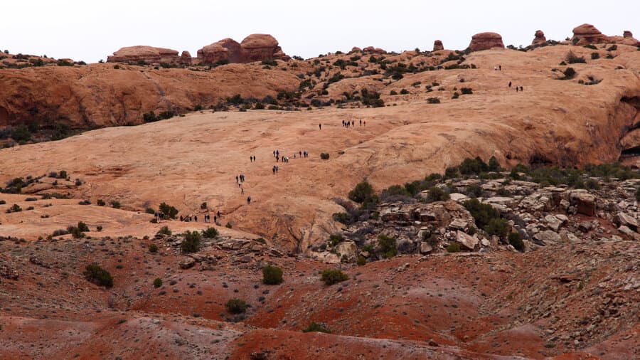
Best Arches National Park Hikes: Trail Guide (2026)
All 11 trails compared: distances, elevation gains, heat warnings, timed-entry guide and two guided hiking options.
Read more →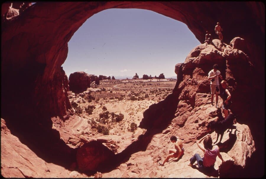
Best Arches National Park Tours (2026)
Six tour types compared: sightseeing van, backcountry 4x4, sunset, private guided hike, audio driving tour, and three-park combo.
Read more →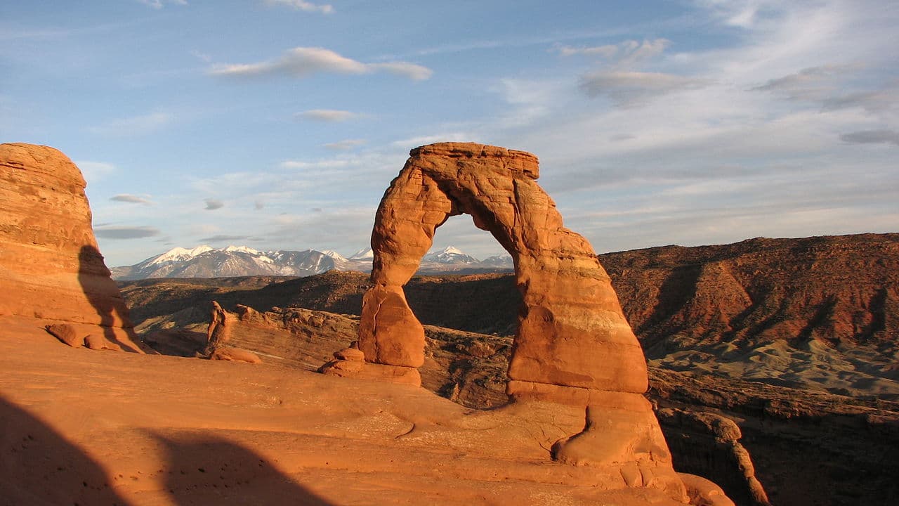
Landscape Arch Trail: Guide to the Longest Arch in North America (2026)
1.9 miles, easy, 246 ft gain from Devils Garden Trailhead. The longest natural arch in North America, and far fewer crowds than Delicate Arch.
Read more →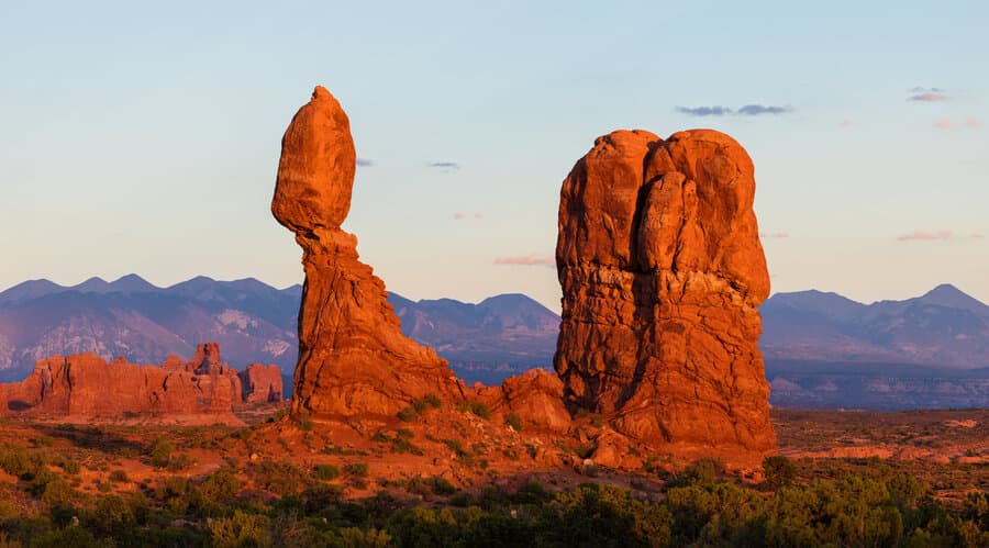
Arches National Park: Visitor Guide (2026)
Timed-entry permits, entry fees, how to get there from Moab, when to visit, and all the park highlights in one place.
Read more →
Written by Diego Fresno, Travel writer and independent publisher specialising in the American Southwest. Latest research conducted on location in Page, Arizona during July 2025. Guides are verified quarterly; last review April 2026.. Verified quarterly: last review April 2026. About the author →