Moab, Utah is a small town of 5,300 people on the Colorado River, surrounded by more iconic canyon scenery than anywhere else in North America. Within 30 miles of the town center: Arches National Park (over 2,000 natural arches, including Delicate Arch), Canyonlands National Park (the largest national park in Utah), and Dead Horse Point State Park (a 2,000-foot overlook of the Colorado River that rivals the Grand Canyon for sheer visual impact). This guide covers everything you need to know before you arrive.
Location
Grand County, Utah (240 miles SE of Salt Lake City; not Arizona)
Elevation
4,026 ft (much hotter than Bryce Canyon and Zion in summer)
Population
~5,300 (small town; book accommodation well in advance)
Main parks
Arches NP ($35/vehicle) · Canyonlands NP ($35) · Dead Horse Point SP ($20)
Arches timed entry
Required April 1 to Oct 31, 7am-4pm; book 60 days ahead on recreation.gov
Canyonlands
No timed entry required; three districts (Island in the Sky closest at 32 mi)
From Salt Lake City
238 miles / ~4 hours via I-15 S and I-70 E
From Denver
354 miles / ~5.5 hours via I-70 W
From Las Vegas
464 miles / ~6.5 hours via I-15 N and US-191 N
Dark sky
Both Arches and Canyonlands are certified International Dark Sky Parks
Mountain biking
Slickrock Trail (10.5 mi) is one of the most famous bike trails on Earth
What is Moab, Utah?
Moab sits where the Colorado River cuts through the Colorado Plateau, one of the largest elevated plateaus on Earth. The plateau has been uplifted, eroded, and carved over 300 million years into the landscape visible today: deep canyons, freestanding rock arches, flat-topped mesas, and towers of red Entrada sandstone. The town is at 4,026 feet elevation, significantly lower than the parks surrounding it, which makes it a heat trap in summer and a warm base in winter.
The town has a brief but notable history. Moab boomed in the 1950s uranium rush (the Atlas Uranium Mill, now a Superfund cleanup site, operated just north of town) and again in the 1990s as mountain biking, film production, and off-road tourism discovered the terrain. Today tourism drives nearly the entire local economy.
Moab has been a film location for decades. Notable productions shot here or in the surrounding canyon country include Thelma and Louise (1991),Indiana Jones and the Last Crusade (1989), 127 Hours (2010), and HBO's Westworld. The Colorado River section near town appeared in Thelma and Louise; Canyonlands served as the backdrop for much of127 Hours.
Is Moab worth visiting?
Yes. The landscape justifies every logistical complication of getting there. The combination of Arches, Canyonlands, and Dead Horse Point in a 35-mile radius is unmatched anywhere in North America. Visitors expecting a typical national park experience, paved paths and gentle scenery, will be surprised by how raw and demanding the terrain actually is at its best.
The main drawbacks to understand before booking:
- Summer heat is extreme. July and August regularly hit 100-105°F (38-40°C) in the valley. Hiking after 9am in those months is dangerous for most people. Visitors who arrive expecting comfortable summer hiking often leave disappointed.
- Small town, limited services. Moab has one real grocery store, limited medical facilities, and intense competition for accommodation and restaurant tables in peak season. Book everything in advance.
- A car is mandatory. There is no public transport to Arches, Canyonlands, or Dead Horse Point. Some trails and jeep routes require a high-clearance 4WD vehicle. Without a car, access is limited to town.
Moab rewards visitors who arrive in the right season, have flexible plans, and understand they are visiting a desert ecosystem, not a mountain resort.
Getting to Moab
Moab is served by Canyonlands Regional Airport (CNY), 18 miles north of town, with daily flights from Denver on United Express. This is the only direct flight from a major hub. Most visitors fly into Salt Lake City (238 miles), Denver (354 miles), or Las Vegas (464 miles) and drive.
| From | Distance | Drive time | Main route |
|---|---|---|---|
| Salt Lake City, UT | 238 miles | ~4 hours | I-15 S → I-70 E → US-191 S |
| Denver, CO | 354 miles | ~5.5 hours | I-70 W → US-191 S |
| Grand Junction, CO | 111 miles | ~1.75 hours | I-70 W → US-191 S |
| Las Vegas, NV | 464 miles | ~6.5 hours | I-15 N → US-191 N (or via Zion/Bryce loop) |
| Monument Valley, AZ/UT | 131 miles | ~2.5 hours | US-191 S → US-163 S |
| Page, AZ (Antelope Canyon) | 180 miles | ~2.75 hours | US-191 S → AZ-98 W |
The approach from Grand Junction via I-70 passes through the Colorado River canyon in eastern Utah, one of the most spectacular highway segments in the American West. Worth routing through if you have flexibility.
A standard 2WD rental car handles all paved roads in both national parks. For unpaved 4x4 trails (Hell's Revenge, White Rim Road, Shafer Trail), you need a high-clearance 4WD, or you join a guided jeep tour.
Guided tours from Moab
The two activities where a guided tour adds the most value are Arches sightseeing (for visitors who want to skip the timed-entry booking process, or who prefer a narrated introduction to the geology) and off-road jeep tours (for anyone whose rental car cannot handle the unpaved backcountry trails).
Arches National Park Sightseeing Tour from Moab
4-hour guided tour of Arches National Park with hotel pickup from Moab. Park entry included so you avoid timed-entry hassle. Stops at Delicate Arch viewpoint, Balanced Rock, Windows Section, and more. Small group.
Arches and Canyonlands Full Day 4x4 Adventure
Full-day 4x4 tour covering both Arches and Canyonlands National Parks in one day. Off-road backcountry routes, canyon viewpoints, and remote desert terrain unreachable by standard rental car. 9 hours.
Arches National Park
Arches contains more than 2,000 natural sandstone arches, the highest concentration on Earth. The park covers 76,679 acres north of Moab and is accessible by a single paved road, 18 miles from the entrance to Devils Garden Trailhead. The signature feature is Delicate Arch, a 52-foot freestanding arch that has become the symbol of Utah and appears on the state license plates.
Top hikes in Arches:
- Delicate Arch Trail: 3 miles round trip, 480 ft elevation gain. Moderate. The most iconic hike in the park: a steady climb over exposed slickrock that opens suddenly onto the arch framing the La Sal Mountains. Start before 7am to avoid crowd congestion on the narrow approach ledge.
- Devils Garden Loop: 7.2 miles, 1,160 ft. Strenuous. Passes Landscape Arch (306 ft span, the longest arch in North America) and multiple primitive arches on the scrambling section. Plan 5-6 hours.
- Windows Loop: 1 mile, flat. Easy. Three large arches within a short walk: North Window, South Window, and Turret Arch. Best introduction for families and visitors short on time.
- Balanced Rock Trail: 0.3 miles, flat. Circles a 3,577-ton boulder balanced on a narrow pedestal. Good for late-afternoon light.
Important: Timed-entry tickets are required April through October. See the timed entry section below for how to book.
Canyonlands National Park
Canyonlands is Utah's largest national park at 337,598 acres, divided by the Colorado and Green Rivers into three separate districts. Each requires a different drive and has a distinct character:
| District | Distance from Moab | Vehicle required | Best for |
|---|---|---|---|
| Island in the Sky | 32 miles | Any vehicle (paved road) | Most visitors: panoramic views, Mesa Arch, Grand View Point, White Rim overlook |
| The Needles | 75 miles | Any vehicle (paved road) | Hikers and backpackers: red and white banded spires, longer trails, far fewer crowds |
| The Maze | ~120 miles (6+ hours) | High-clearance 4WD + backcountry permit | Experienced desert adventurers only: the most remote land in the lower 48 states |
Island in the Sky is the district 90% of visitors see. The Mesa Arch trail (0.5 miles, flat) yields one of the most photographed views in Utah: an arch framing the White Rim Road 2,000 feet below, with the La Sal Mountains in the distance. Grand View Point Overlook (2 miles round trip, flat) shows the full confluence of the Colorado and Green Rivers from 1,000 feet above.
Canyonlands does not require timed-entry tickets. The entry fee is $35/vehicle for a 7-day pass. The America the Beautiful Annual Pass covers both Canyonlands and Arches.
Dead Horse Point State Park
Dead Horse Point is a Utah state park (separate from the national parks, with its own entry fee), 28 miles from Moab via UT-313. A mesa narrows to a point barely 30 yards wide before dropping 2,000 feet straight to the Colorado River below. The view from the main overlook shows the river snaking through the canyon in two visible oxbows, extending to the horizon.
Entry: $20 per vehicle. No timed-entry tickets required. The park shares the UT-313 access road with Canyonlands Island in the Sky, making it straightforward to combine both in one day. Dead Horse Point is generally quieter than either national park and is the best sunrise and sunset photography spot in the region.
Top things to do in Moab
Moab activities divide into four main categories. Each has its own outfitter ecosystem, terrain requirements, and timing considerations:
- Hiking: Arches and Canyonlands have the iconic trails; Bureau of Land Management lands around Moab add hundreds of miles of routes without park entry fees. Corona Arch (3 miles, 400 ft, free) and Morning Glory Bridge are popular alternatives when park trails are crowded.
- Mountain biking: The Slickrock Bike Trail (10.5 miles, strenuous, 4+ hours minimum) is considered one of the world's great mountain bike routes: a loop over bare sandstone domes with views of the La Sal Mountains. The Whole Enchilada descends 26 miles and 7,800 vertical feet from the mountains to town. Bike rentals and shuttles are available from several shops in town.
- Off-road driving: Hell's Revenge (6 miles, 3-4 hours) starts near town and climbs slickrock ledges with 40-degree angles. Poison Spider Mesa and the White Rim Road (100 miles around Canyonlands Island in the Sky, typically a 2-3 day trip with camping) are the main longer options. All require high-clearance 4WD or a guided jeep tour.
- River activities: The Colorado River through Moab splits into flatwater sections above town (kayaking and paddleboarding, accessible to anyone) and Class III-IV whitewater at Westwater Canyon (full-day or overnight guided rafting, $100-170 per person). Half-day flatwater float trips start around $45-60 per person.
Best time to visit Moab
Season choice matters more in Moab than in almost any other US destination. The desert climate creates extreme swings: comfortable temperatures in spring and fall, dangerous heat in summer, and cold nights in winter.
| Month | High / Low (°F) | Crowds | Notes |
|---|---|---|---|
| January | 42 / 19 | Minimal | Snow possible; dramatic snowy red rock scenery; some campgrounds closed |
| February | 50 / 24 | Low | Warming; good photography light; occasional road closures after storms |
| March | 61 / 34 | Building | Wildflowers begin; comfortable hiking; timed entry for Arches starts April 1 |
| April | 72 / 42 | Peak spring | Best wildflower month; Arches timed entry required; book 60 days ahead |
| May | 83 / 51 | High | Still comfortable before summer heat; popular weekends fully booked |
| June | 93 / 61 | Very high | Heat building; hike only before 8am; accommodation books weeks ahead |
| July | 100 / 68 | Moderate | Dangerous heat; flash flood risk from monsoon storms; arrive before dawn |
| August | 98 / 66 | Moderate | Extreme heat; afternoon thunderstorms; highest flash flood risk in narrow canyons |
| September | 87 / 55 | Dropping | Excellent: mornings cool, monsoon fading, La Sal fall color beginning |
| October | 73 / 41 | Low-moderate | Best month: comfortable days, cold nights, La Sal Mountains peak fall color |
| November | 55 / 28 | Low | Good hiking temps; cold nights; some facilities and campgrounds closing |
| December | 43 / 20 | Minimal | Very cold nights; dramatic winter light; near-empty trails |
The clearest recommendation: October is the best single month. Crowds drop sharply after Labor Day, daytime temperatures are in the 60s-70s, cold nights make camp sleep comfortable, and the La Sal Mountains above 10,000 feet turn gold. Spring (March-May) is a close second, with wildflowers and comfortable hiking, but timed entry for Arches starts April 1.
Avoid July and August unless you plan to hike only before 9am and spend midday in air conditioning or in the river.
Stargazing: two certified Dark Sky Parks
Both Arches National Park and Canyonlands National Park hold certification as International Dark Sky Parks. Canyonlands holds Gold Tier certification, one of the highest designations on Earth, meaning its horizons show essentially no measurable artificial light. The nearest significant city (Grand Junction, CO) is over 100 miles away; Las Vegas is 464 miles.
The Milky Way core is visible from April through October on moonless nights. At the best sites in Canyonlands on a new moon night, you can count stars that are simply invisible from any city or suburb. The specific window for the Milky Way galaxy center to appear high in the sky is June through September.
Best stargazing locations near Moab:
- Mesa Arch, Canyonlands (Island in the Sky): The arch frames the canyon below; the rim of the arch creates a natural dark foreground against the star field above. Most photographers arrive two hours before midnight in July-September.
- Grand View Point, Canyonlands: The widest horizon in the region, with no artificial light visible in any direction. The canyon below disappears into darkness, leaving an unobstructed sky from horizon to horizon.
- Balanced Rock, Arches: Classic foreground element for Milky Way photography; closer to town but still significantly darker than most places in the country.
Both parks hold occasional ranger-led stargazing programs in summer. Check NPS.gov for current schedules; availability varies by season and ranger staffing.
Timed entry for Arches National Park (2026)
This is the single most important logistical fact for planning a trip to Moab: Arches National Park requires timed-entry tickets from April 1 through October 31, 2026, for entry between 7am and 4pm.
How the timed-entry system works:
- Reservations open 60 days in advance at 8am Mountain Time on recreation.gov. High-demand dates (spring break, Memorial Day weekend, July 4, Labor Day) sell out within minutes of opening. Set a calendar reminder for exactly 60 days before your planned entry date.
- The reservation costs $2 per vehicle, in addition to the regular $35 entry fee (or the America the Beautiful Annual Pass for the entry fee; the $2 reservation fee still applies even with the annual pass).
- Arriving before 7am or after 4pm does not require a timed-entry ticket. Entering before 7am is the most practical workaround for sunrise photography at Delicate Arch and for beating crowds in general. Once inside, you may stay all day regardless of when you entered.
- If your preferred date is sold out, check recreation.gov regularly: cancellations appear throughout the booking window and the day before.
The timed-entry program has changed annually since it launched in 2021. The above reflects the 2026 program as of September 2026; check recreation.gov for the authoritative current-year rules before finalizing your itinerary.
Where to stay in Moab
Moab has a limited accommodation supply for a destination that feeds two national parks receiving over 3 million visitors per year. In spring and fall (the ideal seasons), rooms book weeks or months in advance. Key options by category:
- Hotels on Main Street: Major chains (Hampton Inn, Hilton Garden Inn, Holiday Inn Express, La Quinta) are concentrated on and near Main Street. Prices run $150-220/night in shoulder season, $300-450 on peak spring and fall weekends. Walking distance to restaurants is the main advantage.
- Glamping and resort camps: Under Canvas Moab (11 miles from the Arches entrance) and similar operators offer canvas tent and cabin options with canyon and mountain views, starting around $200-350/night. Book 4-6 months ahead for October weekends.
- Campgrounds in the parks: Devils Garden Campground (Arches, 51 sites, electric hookups available) and Willow Flat (Canyonlands Island in the Sky, 12 sites, first-come-first-served). Devils Garden reservations open 4 months ahead on recreation.gov and fill immediately.
- BLM dispersed camping: Free camping on Bureau of Land Management land outside the parks is legal with a free permit. Sand Flats Recreation Area (adjacent to Slickrock Trail) has developed sites for $20/night.
- Monticello, UT (52 miles south): Budget motels at significantly lower prices than Moab, with reasonable access to Canyonlands Needles District. Not practical as a base for Arches.
Practical tips
- Water above everything: Carry at least 1 liter per hour of hiking, more in summer. Dehydration and heat exhaustion are the leading causes of visitor rescues in Arches and Canyonlands. The dry desert air and direct sun at 4,000 feet drain you faster than you expect.
- Summer heat strategy: Start hiking no later than 6:30am. Plan to be off exposed trails by 9-10am. Spend midday in air conditioning or near the river. Afternoon temperatures in July exceed 100°F on black sandstone surfaces.
- Flash flood risk in narrow canyons: Between July and September, afternoon storms over the Colorado Plateau can send walls of water through narrow canyons with no warning at the canyon entrance. Never enter a slot canyon if storms are visible anywhere on the horizon, even far away.
- Gas before the parks: No fuel stations exist inside Arches or Canyonlands. Fill up in Moab. The nearest alternatives in other directions are Green River (52 miles north) and Monticello (52 miles south).
- Cell coverage: Unreliable or absent in both national parks. Download NPS apps, offline maps (Gaia GPS or AllTrails), and any hotel confirmation emails before entering the parks.
- Cryptobiotic soil crust: The dark, lumpy-looking soil crust throughout Moab country is a living community of cyanobacteria, lichens, and mosses that takes 50-250 years to grow and is destroyed by a single footstep. Stay on designated trails and on bare rock. Every step off-trail directly damages it.
- Altitude note: At 4,026 feet, Moab is significantly lower than Bryce Canyon (8,000+ ft) or Zion (4,000+ ft in the canyon but entry roads are higher). Heat is the primary physical challenge here, not altitude.
Frequently asked questions
Is Moab, Utah worth visiting?
Yes, without reservation. Moab is the most concentrated collection of accessible canyon scenery in North America. Arches National Park, Canyonlands National Park, and Dead Horse Point State Park are all within 30 miles of town, and together they offer more iconic landscapes per square mile than any other region in the US. The town is small, summer heat is extreme, and services are limited, but the landscape itself is extraordinary.
How many days do you need in Moab?
Three days is the minimum to see Arches, Canyonlands Island in the Sky, and Dead Horse Point without rushing. Five days lets you add Canyonlands Needles District, a full-day jeep trail, river rafting, and a leisurely second look at Arches. Most visitors do a 3-4 day trip. Ten days is needed to explore both parks seriously plus surrounding Bureau of Land Management lands.
Do you need a reservation for Arches National Park?
Yes, from April 1 through October 31, 2026. Timed-entry tickets are required to enter between 7am and 4pm. Reservations open 60 days in advance on recreation.gov and cost $2 per vehicle in addition to the regular $35 entry fee. Arriving before 7am or after 4pm does not require a reservation. The timed-entry program has changed annually since 2021; check recreation.gov for the current year rules before visiting.
When is the best time to visit Moab?
October is the best single month: cool days (60s-70s F), cold nights, empty trails after Labor Day, and the La Sal Mountains above 10,000 feet turning gold. Spring (March-May) is a close second, with wildflowers and comfortable hiking temperatures. Avoid July and August: daily highs regularly exceed 100°F (38°C) and heat exhaustion rescues are common. Winter is viable with near-empty parks and occasional snow on the red rock, but some campgrounds and facilities close.
What is Moab known for?
Moab is known primarily as the gateway to Arches National Park (over 2,000 natural arches, including the famous Delicate Arch) and Canyonlands National Park (Utah's largest national park). Beyond the parks, the town is famous for world-class mountain biking on the Slickrock Trail, off-road jeep routes including Hell's Revenge and Poison Spider Mesa, Colorado River rafting, and exceptional dark sky stargazing. Both Arches and Canyonlands hold International Dark Sky Park certification.
What is the best hike in Moab?
Delicate Arch Trail in Arches National Park is the most iconic: 3 miles round trip, 480 feet of elevation gain, ending at a 52-foot freestanding sandstone arch framing the La Sal Mountains. Mesa Arch in Canyonlands Island in the Sky (0.5 miles, flat) gives one of the most photographed views in Utah. For a longer challenge without a park entry fee, Corona Arch Trail (3 miles, 400 ft) rivals anything in Arches with a fraction of the crowds.
Can you see the Milky Way from Moab?
Yes. Both Arches and Canyonlands are certified International Dark Sky Parks; Canyonlands holds Gold Tier certification, one of the darkest sky designations on Earth. The Milky Way core is visible from April through October on moonless nights. Mesa Arch in Canyonlands and Balanced Rock in Arches are the most popular stargazing spots, though any viewpoint away from town works well on a clear, moonless night.
Is Moab in Utah or Arizona?
Moab is in Utah, in Grand County, about 240 miles southeast of Salt Lake City. The nearest Arizona border is over 100 miles south. Moab sits on the Colorado River at 4,026 feet elevation. It is roughly 130 miles north of Monument Valley, 180 miles north of Page, Arizona (Horseshoe Bend and Antelope Canyon), and 464 miles from Las Vegas.
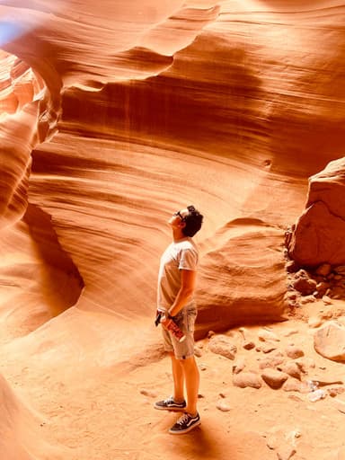
Written by Diego Fresno, travel writer covering the American Southwest. Moab information verified against NPS.gov, recreation.gov timed-entry documentation, International Dark-Sky Association certification records, and National Park Service visitor statistics. September 2026.. Verified quarterly: last review April 2026. About the author →
Related guides
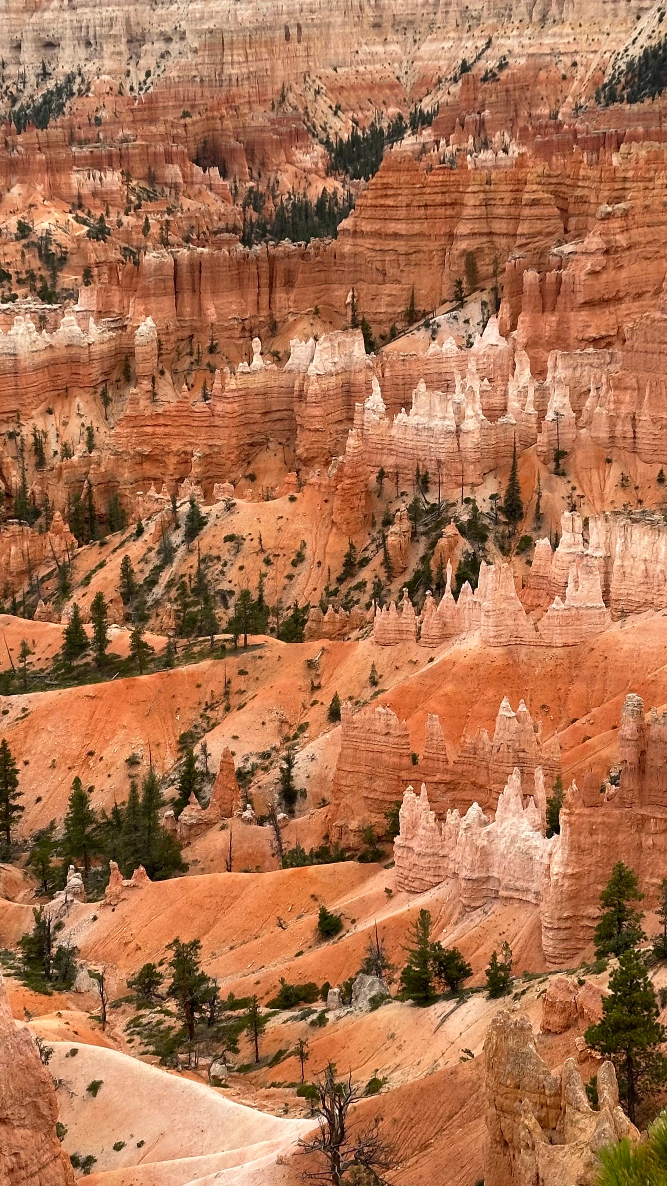
Bryce Canyon National Park: complete 2026 visitor guide
The highest concentration of hoodoos on Earth, certified International Dark Sky Park, and no timed-entry permit required. Entrance fees, viewpoints, best hike, and stargazing guide.
Read more →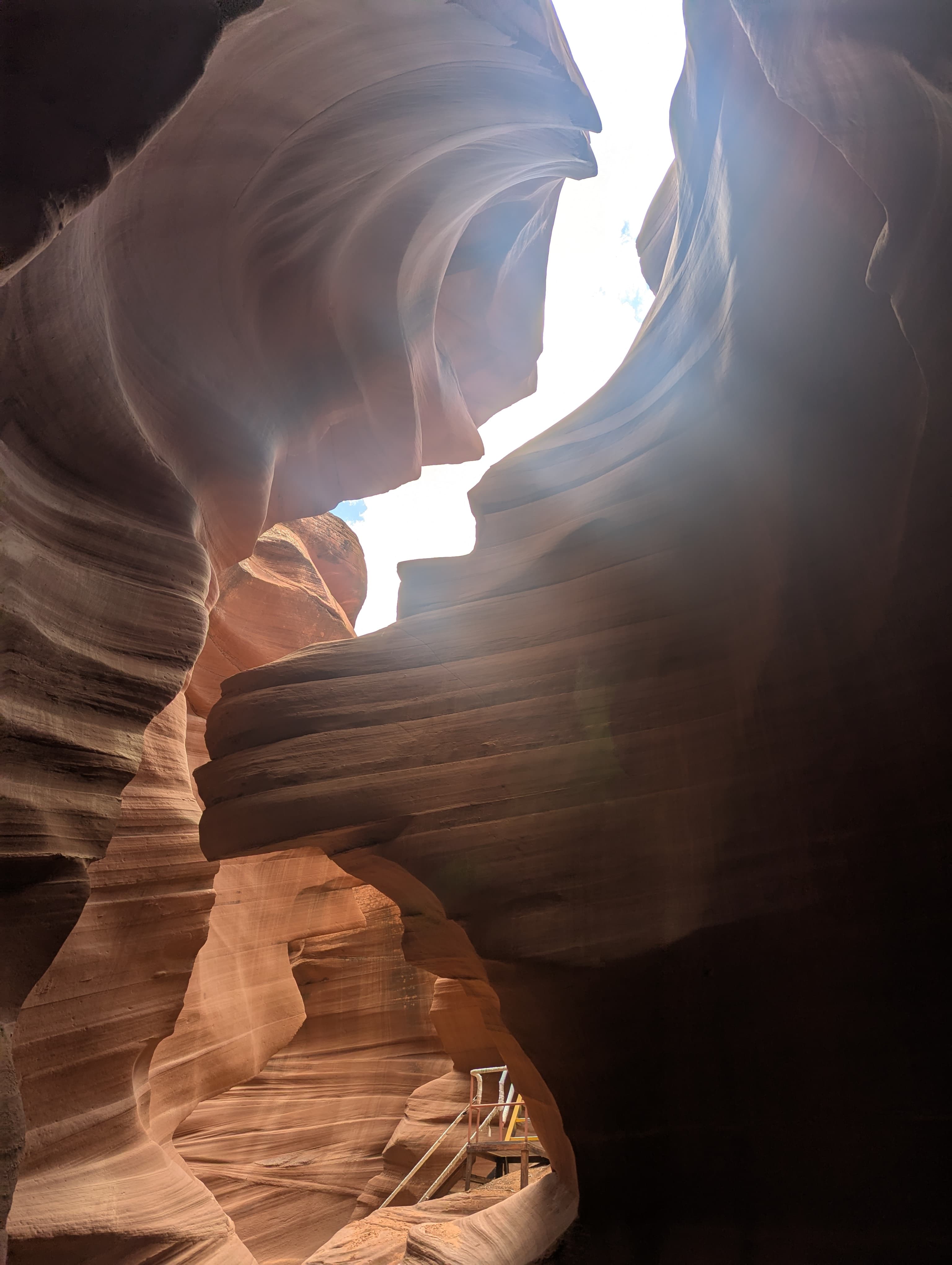
Antelope Canyon: complete guide to Upper and Lower
Everything you need to know before booking: Upper vs Lower, which tour operators to choose, prices, best light times, and what to expect inside the canyon.
Read more →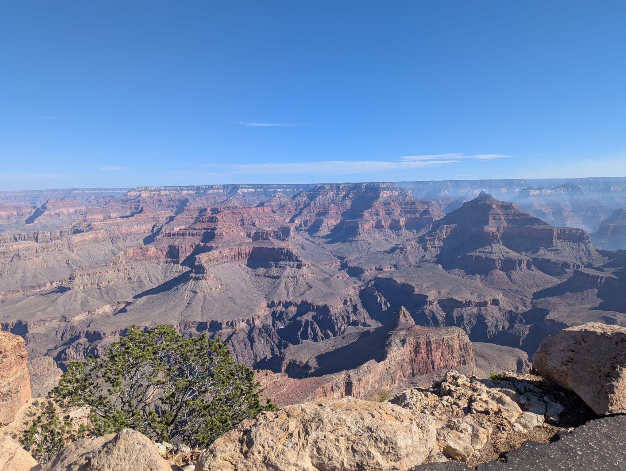
Grand Canyon helicopter tours from Las Vegas
West Rim vs South Rim: which tour is actually worth it, what you see from the air, current prices, and the honest trade-offs between the two departure points.
Read more →