Capitol Reef is the Utah national park people drive past. It is the least visited of the five, it has no shuttle, no permit lottery and no single photograph that everyone recognises, and it sits exactly on the road between Bryce Canyon and Moab. So the question almost nobody answers properly is not what Capitol Reef is. It is whether to pull over, and for how long. This guide answers that first, then gives you the 2026 numbers to plan around.
Entrance
$20 / vehicle · 7 days
Scenic Drive
7.9 miles paved · ~90 min
Park elevation
5,500 ft (1,676 m)
Day hikes in Fruita
15 trails · 0.25 to 10 miles
Fruit picking
$2.00/lb · $30 per bushel
Base town
Torrey, 10 min west
What Capitol Reef actually is
The park exists because of one geological feature: the Waterpocket Fold, a wrinkle in the Colorado Plateau roughly 100 miles long running north to south. Deep underground a buried fault reactivated, and the sedimentary layers above it bent rather than broke, folding into a one-sided slope that geologists call a monocline. The west side ended up about 6,800 feet higher than the east. Erosion has since cut through the tilted layers, which is why you drive past bands of rock standing on edge.
The name is a settler joke that stuck. The white Navajo Sandstone domes looked like the US Capitol building, and “reef” was what nineteenth-century travellers called any long ridge that blocked the way. That is the honest translation of the name: a wall of rock shaped like a dome, standing between you and where you were going.
What that means on the ground is a park with a very different shape from its neighbours. Zion funnels you into one canyon and Bryce gives you one amphitheatre. Capitol Reef is a long thin strip, and the headline scenery is strung along it rather than concentrated at a viewpoint. That is the real reason it gets skipped, and also the reason it is never crowded.
Is it worth stopping for?
It depends entirely on what your trip already looks like, so here is the answer split by the three situations most people are actually in.
| Your trip | Verdict | Why |
|---|---|---|
| Driving Bryce to Moab | Stop. Half a day. | You pass the entrance either way. Skipping it saves you nothing but the fee. |
| A dedicated Utah parks trip | Stop. One night in Torrey. | It is the fifth of the Mighty 5 and the only one with the orchards. |
| Flying into Vegas for a week | Probably not. | It is a long way east for a park whose best parts are subtle. |
| Travelling with young kids | Stop, and it may be the favourite. | Short flat trails, free fruit in the orchard, pie, and nowhere to queue. |
The case for stopping is mostly about effort rather than scenery. Highway 24 runs straight through the park and the stretch through Fruita is free: the visitor center, the orchards, the Gifford House and the trailheads for Hickman Bridge and the petroglyph panel all sit on it. You can see a genuine amount of Capitol Reef without paying anything or leaving your route. Paying the $20 gets you the Scenic Drive, which is the better scenery and the part worth ninety minutes.
The case against is worth saying plainly too. If you have already spent a week in Utah's canyon country, Capitol Reef will not surprise you. It has no Angels Landing, no Delicate Arch and no hoodoo amphitheatre. Its pleasure is that you get a national park almost to yourself, which matters more to some people than others.
How long do you need?
| Time | What you get | Good for |
|---|---|---|
| 90 minutes | Visitor center, Fruita, the petroglyph panel, Gifford House | A leg-stretch that still feels like a visit |
| Half a day | All of the above plus the Scenic Drive and Hickman Bridge | The sweet spot for a road trip |
| A full day | Add Cassidy Arch or Capitol Gorge, and sunset at Panorama Point | People who like walking |
| Two days | Add Cathedral Valley or the Notom-Bullfrog road | High-clearance vehicle and a tolerance for dirt |
If you take one number from this page, take this one: half a day is the right answer for most people. It is long enough for the Scenic Drive and one good hike, which is the park's whole case, and short enough that it does not cost you a night.
The Scenic Drive and its two dirt spurs
The Scenic Drive is a 7.9-mile paved road heading south from the visitor center, and it is what the entrance fee pays for. The Park Service suggests about an hour and a half round trip including its two unpaved spur roads, which is honest: it is a slow road with places you will want to stop.
The two spurs are the part people miss. Grand Wash and Capitol Gorge both run east into the fold and end at trailheads, and both are normally fine for a passenger car and for RVs up to 27 feet. Driving into Capitol Gorge is the closest thing here to the slot canyons further south: the walls close in while you are still in the car, though these are wide enough to drive rather than squeeze through.
The Scenic Drive and both spurs close for snow, ice, mud and flash floods, and the road status published on the park website is only updated weekly. The current information is on the phone line: 435-425-3791, press #1 for information then #4 for roads, or #3 for the weather forecast.
Do not plan the drive from a GPS either. The Park Service states plainly: do not rely on a GPS unit to guide you into the park, use a map instead.
The hikes that justify the stop
There are fifteen day-hiking trails in the Fruita area, with trailheads on Highway 24 and along the Scenic Drive, and they run from under a quarter of a mile to about ten. They are well signed and cairned. Two things to plan around: the park sits at 5,500 feet, so an “easy” rating is harder than it sounds if you have come from sea level, and there is no water at any trailhead. From May onwards afternoon temperatures reach the high 90s F with almost no shade.
| Hike | Effort | Why this one |
|---|---|---|
| Hickman Bridge | Moderate, short | A 133-foot natural bridge. The one to do if you do one. |
| Capitol Gorge & the Tanks | Easy, flat | Pioneer inscriptions in the canyon walls, and the water pockets the fold is named for. |
| Cassidy Arch | Strenuous | You end up standing on top of the arch, not under it. |
| Grand Wash | Easy, flat | A wide canyon floor walk. The flash-flood caveat is real here. |
| Golden Throne | Strenuous | Climbs out of Capitol Gorge for the view back over the fold. |
Trail list and the elevation, shade and water warnings from nps.gov/care, read on 29 October 2026. The park does not publish a single official mileage table for every trail, so distances are posted at each trailhead.
Fruita: the orchards and the pie
This is the part of Capitol Reef that exists nowhere else in the American Southwest, and it is the reason to stop even if you are tired of red rock. Fruita was a Mormon settlement, and the settlers planted cherry, apricot, peach, pear, apple and walnut trees along the Fremont River. The Park Service still maintains the orchards.
When an orchard is posted as open for harvest you can walk in and pick. Fruit you eat in the orchard is free. Fruit you take with you gets weighed and paid for on a self-pay basis, and as of the park's update on 28 October 2026 the rate is $2.00 per pound, or $30 for a 50-pound bushel. Which orchards are open rotates through the season: on that date it was the Kreuger and Chesnut orchards.
The Gifford House, the historic homestead that sells the pies people come back for, is open 9:00 am to 4:30 pm and its last day of the season is Sunday 22 November 2026. It then closes until 14 March 2027. If pie is part of why you are stopping, that is the date to plan around.
The visitor center runs 8:00 am to 4:30 pm through spring and autumn, and switches to 9:00 am to 4:30 pm from 29 November. Read on nps.gov/care on 29 October 2026.
Fees, hours and what closes when
The park itself is open 24 hours a day, year round. The fee is charged on the Scenic Drive, not on Highway 24.
| Pass | Price | Covers |
|---|---|---|
| Private vehicle | $20 | 7 days, driver and all passengers |
| Motorcycle | $15 | 7 days, up to 2 bikes |
| Per person (foot or bike) | $10 | 7 days. Under 16 free |
| Capitol Reef annual | $35 | One vehicle, this park only |
| America the Beautiful | $80 | All federal sites, 12 months, US residents |
| Fruita Campground | $25 / night | $12.50 with Senior or Access pass |
Two permits are free and worth knowing about: backcountry camping, and canyoneering or rock climbing. Both are day-use or trip permits issued at the visitor center during opening hours, so arrive with enough time to complete the paperwork before it closes. The Fruita Campground is reservable through recreation.gov up to six months ahead, a year ahead for the group site, and it stays open all year.
Rates from nps.gov/care/planyourvisit/fees.htm, a page the Park Service last updated on 29 December 2025, read on 29 October 2026. Remaining fee-free days in 2026 are 11 November, Veterans Day.
Getting there and where it fits
Utah Highway 24 is the artery. The visitor center sits in the middle of the park directly on it, and almost every approach ends up on SR-24 sooner or later. Coming west on I-70, take exit 149 onto SR-24 towards Hanksville and follow it roughly 81 miles. Coming east on I-70, exit 40 and work south and east through SR-120, SR-118 and SR-119 onto SR-24, another 63 miles from there.
The approach worth planning for is Utah Highway 12, the 123-mile road that runs from US-89 near Panguitch up to Torrey. It is one of the great drives in the United States in its own right, it connects Bryce Canyon country directly to Capitol Reef, and it climbs over Boulder Mountain near the eastern end, which is why the Larb Hollow Overlook gives you the Waterpocket Fold and the Henry Mountains in one view before you have even entered the park.
Put together, that is what makes the case for stopping: Capitol Reef is the natural hinge between Bryce Canyon and Moab. If your itinerary includes both, the park is on the way whether you visit it or not.
Audio guides, because the signal dies at the park boundary
Capitol Reef has extremely limited mobile coverage, a fact the Park Service states on its own ticketing page when it tells you to download your pass before arriving. That is the honest argument for a downloadable audio guide here, and it is a different argument from the one for a guided tour: there is almost no guided tour market in this park.
Be aware of what is free first. The Park Service runs its own free self-guided geology tour of the Scenic Drive, numbered stops and all, which covers the Moenkopi and Chinle formations and the structure of the fold. If the Scenic Drive is all you are doing, that may be all you need. The paid guides cover more of the park and keep working with no signal.
Capitol Reef National Park Self-Guided Driving Audio Tour
A one to two hour narrated driving tour you download before you arrive, which matters in a park with almost no mobile coverage. Modest review base, so treat the rating as indicative rather than settled. Free cancellation up to 24 hours before.
One other thing is bookable and we are not linking it: a six-hour guided canyoneering trip in the park, sold at around $318 per person. It may well be excellent, but it carries a single review, and we do not send readers to a $318 booking on that evidence. If canyoneering is why you are coming, the park issues the day-use permit free at the visitor center and the rules are published on nps.gov/care.
Cathedral Valley and the backcountry
The park has two districts beyond the Fruita strip, and both ask for a different vehicle. Cathedral Valley in the north is the famous one: monoliths standing alone on open desert floor, reached on a loop that includes a ford of the Fremont River. Notom-Bullfrog Road runs south along the east side of the fold towards Lake Powell.
Read the road ratings literally. The park grades each road as 2WD, high-clearance 2WD, high-clearance 4WD, closed, impassable or not recommended, and it defines high clearance as a minimum of 8 inches, noting that other agencies use 9 inches or more. It also warns that wheelbase matters, because a long vehicle can bottom out in a washout that a short one clears. A standard rental SUV frequently does not qualify, and your rental agreement almost certainly forbids these roads anyway.
Conditions are published by district on the park website and updated only once a week. For a backcountry day, the phone line is the source that matters.
Where to stay
Torrey is the answer for almost everyone. It is ten minutes west of the visitor center on Highway 24, it has the motels, lodges and the handful of restaurants, and it sits at the eastern end of Highway 12, which makes it the logical overnight between Bryce and Moab. Book ahead between April and October: it is a small town serving a national park, and it fills.
Inside the park there is one option, the Fruita Campground, at $25 a night and reservable six months out. It is in the orchards beside the Fremont River, which is a genuinely lovely place to wake up, and it is open all year. Hanksville, about an hour east, is the cheaper and much plainer fallback when Torrey is full.
Frequently asked questions
Is Capitol Reef worth visiting?
Yes, and it is the easiest of the Utah parks to fit into a trip because the best of it sits within a few miles of the road. Utah Highway 24 runs straight through the middle of the park, so you can see the Waterpocket Fold, stop at the Fruita orchards and drive the 7.9-mile Scenic Drive in about three hours without going out of your way. What it is not is a park that rewards a long stay the way Zion or Bryce does: there is no shuttle, no single iconic viewpoint everyone queues for, and the headline scenery is a 100-mile geological fold rather than one photograph. If your trip is already going from Bryce to Moab, you drive past the entrance either way. Stopping costs you half a day.
How much does it cost to enter Capitol Reef?
In 2026 the standard entrance pass is $20 per private vehicle, $15 per motorcycle, or $10 per person if you arrive on foot or by bicycle. All are valid for 7 days. A Capitol Reef annual pass is $35, and the America the Beautiful pass ($80 for US residents) covers entry. Children under 16 do not need a pass. Note that the fee is only collected on the Scenic Drive: the stretch of Highway 24 through the park, including the Fruita area, the visitor center and several trailheads, is free to drive. Rates read on nps.gov on 29 October 2026.
How long does the Capitol Reef Scenic Drive take?
The National Park Service suggests about an hour and a half round trip for the full 7.9-mile paved road plus its two dirt spur roads, Grand Wash and Capitol Gorge. That is driving time with photo stops, not hiking. The spurs are usually fine for passenger cars and for RVs up to 27 feet, but all three roads close for snow, ice, mud and flash floods. Call 435-425-3791 and press #1 then #4 for current road conditions before you commit, because the website version is only updated weekly.
Can you pick fruit at Capitol Reef?
Yes. The historic Fruita orchards, planted by Mormon settlers, are still maintained by the Park Service and you can pick when an orchard is posted as open for harvest. Fruit eaten inside the orchard is free; fruit you take away is weighed and paid for on a self-pay basis. As of the park's update on 28 October 2026 the rate is $2.00 per pound, or $30 for a 50-pound bushel, with the Kreuger and Chesnut orchards open. Which orchards are open changes week to week through the season, so check the park's conditions page before counting on it.
Do you need a 4x4 for Capitol Reef?
Not for the main park. Highway 24, the Scenic Drive and usually the Grand Wash and Capitol Gorge spurs are fine in a standard car. You need a capable vehicle for the backcountry districts: the Cathedral Valley loop in the north and the Notom-Bullfrog road towards the south both cross unpaved terrain and are rated by condition, from 2WD through high-clearance 2WD to high-clearance 4WD. The park defines high clearance as a minimum of 8 inches, which is lower than the 9 inches or more some other agencies use, so check the actual figure for your rental rather than assuming an SUV qualifies.
Where should you stay to visit Capitol Reef?
Torrey is the practical base. It sits just west of the park on Highway 24, has the cluster of motels, lodges and restaurants, and puts you ten minutes from the visitor center. Inside the park, the Fruita Campground is the only option at $25 per night ($12.50 with a Senior or Access pass), reservable through recreation.gov up to six months ahead and open year-round. Hanksville to the east is cheaper and far plainer. If you are driving the Utah loop, Torrey is also the eastern end of Highway 12, which makes it a logical overnight between Bryce and Moab.
When is the best time to visit Capitol Reef?
April to early June and September to October. The park sits at 5,500 feet, so summer afternoons regularly reach the high 90s F and many trails have no shade and no water at the trailhead. Spring brings the orchards into blossom and autumn brings the harvest, which is the one experience here you cannot get at any other Utah park. Winter is quiet and often beautiful, but the Scenic Drive and the dirt spurs close for snow and ice without much warning, and the Gifford House shuts for the season.
Are there guided tours of Capitol Reef?
Very few, and that tells you something about the park. Capitol Reef is a drive-and-hike destination rather than a tour destination: there is no shuttle, no bus circuit and no equivalent of the Antelope Canyon operator model. What is sold online is mostly self-guided audio tours you download before you arrive, which is genuinely useful here because the park has extremely limited mobile coverage. Note also that from 2026 all commercial road-based tours need a Commercial Use Authorization from the park, which has thinned the operator list further.
Related guides
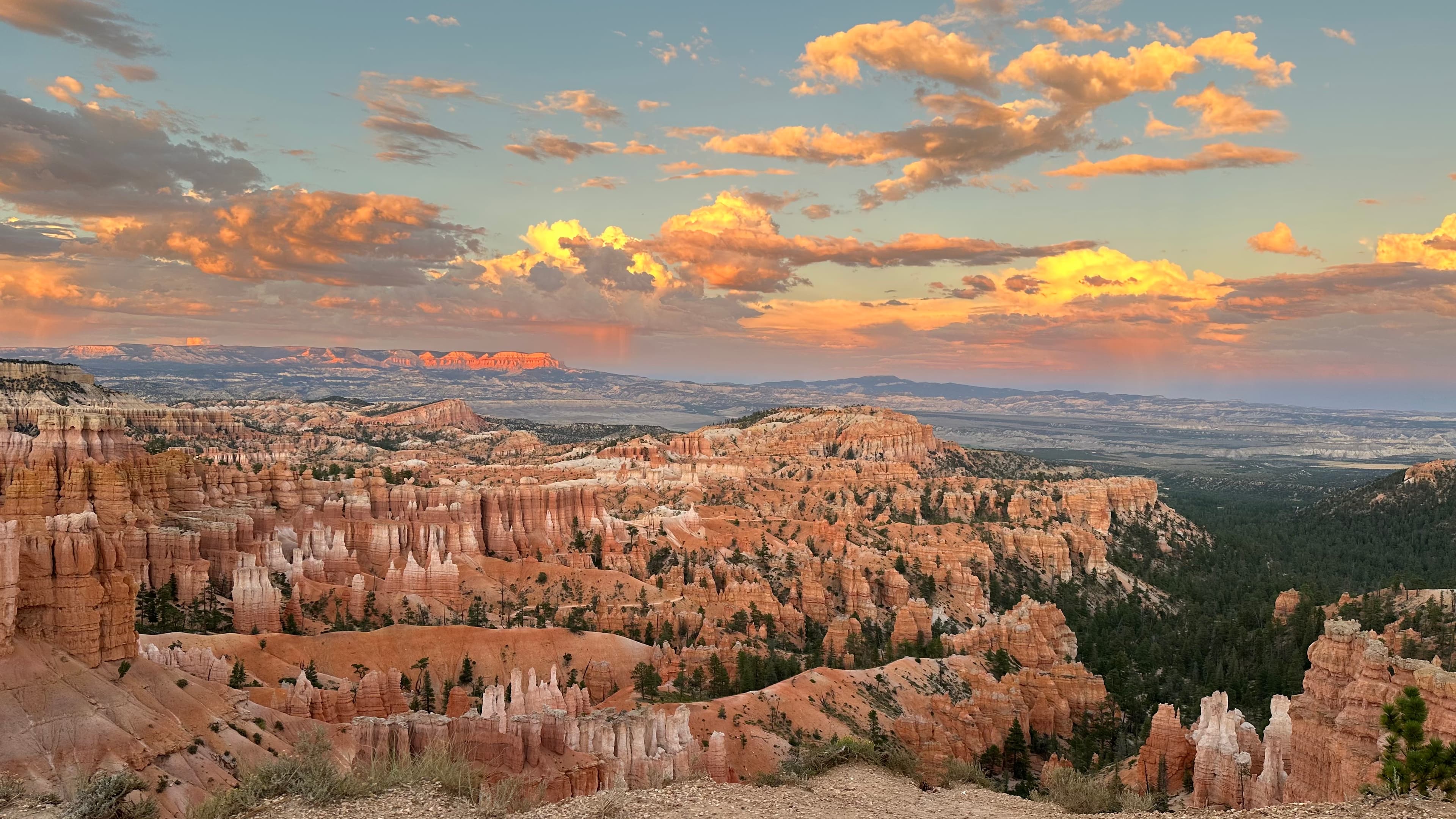
Bryce Canyon: the complete 2026 guide
The park at the other end of Highway 12: fees, viewpoints, hikes and the best time to visit.
Read more →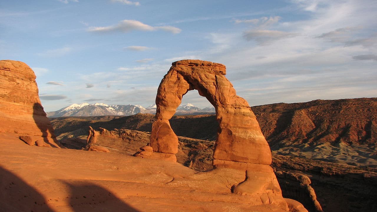
Arches National Park: the complete guide
Timed entry, Delicate Arch, and how to plan the park that sits at the Moab end of the loop.
Read more →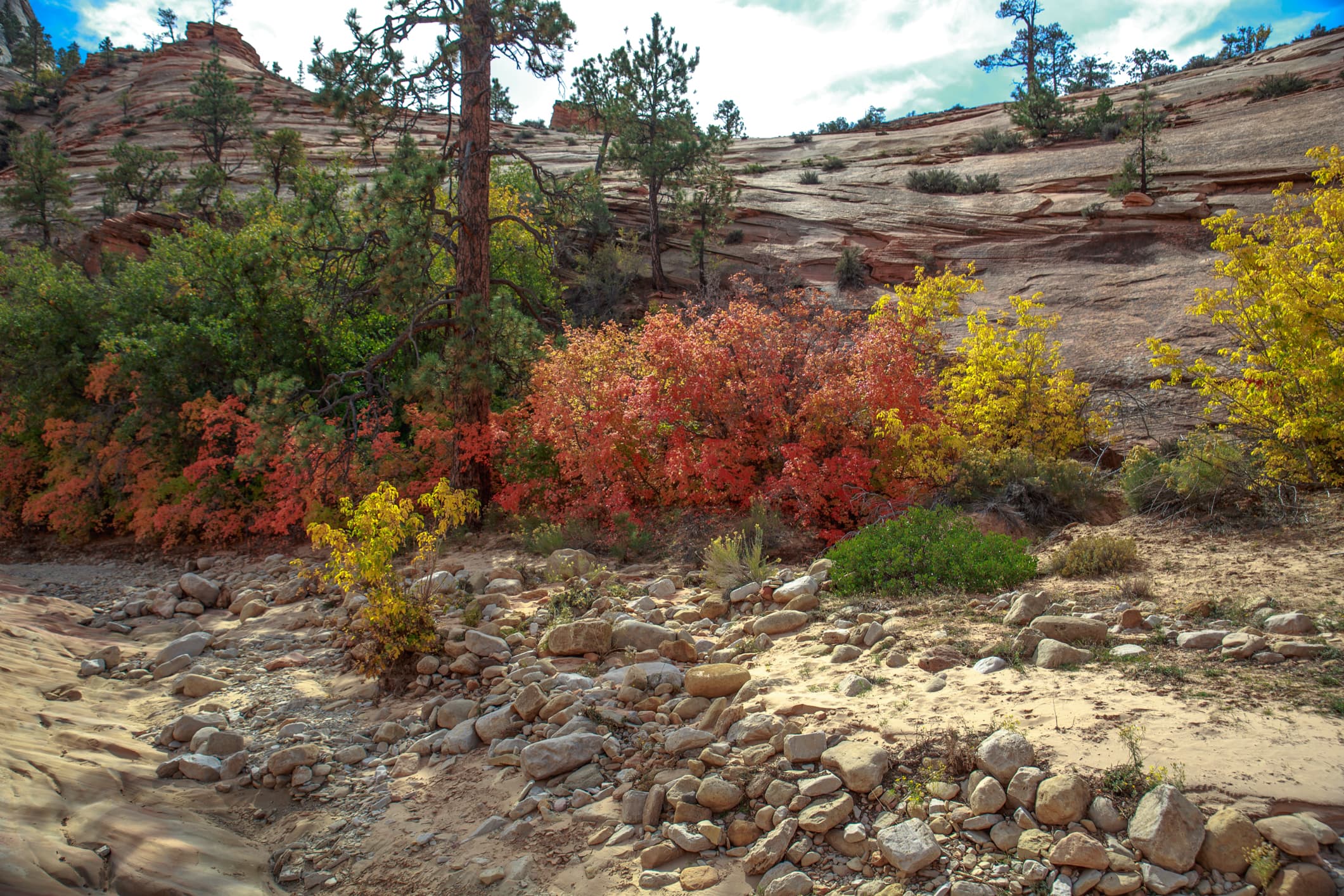
Zion National Park: the complete guide
Shuttles, Angels Landing permits, the Narrows and where to stay in Springdale.
Read more →Moab: the base-town guide
Where to stay and eat between Arches and Canyonlands, at the far end of the Utah loop.
Read more →
Written by Diego Fresno, travel writer covering the American Southwest. Capitol Reef fees, hours, orchard rates, road-condition definitions and trail guidance verified against nps.gov/care in October 2026, including the park's own conditions page updated 28 October 2026.. Verified quarterly: last review April 2026. About the author →