Between Kanab and Page, almost everything worth seeing costs money or needs a permit won in a lottery. Antelope Canyon needs a Navajo guide. The Wave needs a BLM permit. Horseshoe Bend charges for parking. The Toadstool Hoodoos need none of that: you pull off US-89 into a dirt lot, walk under a mile up a wash, and stand in front of balanced rocks that look like something assembled rather than eroded. The catch is not the price. It is that the turning is easy to drive straight past, and that there is no shade anywhere on the route.
Cost
Free. No permit, no reservation, no fee
Trailhead
37.1025, -111.8741 · US-89 between MM 19 and 20
Distance
0.8 miles each way per the BLM sign (~1.5 round trip)
Time
45 minutes to an hour including photographs
Terrain
Sandy wash, uneven footing, essentially flat
Facilities
None. No water, no toilets, no shade
Managed by
BLM, Grand Staircase-Escalante National Monument
Dogs
Allowed
What the Toadstool Hoodoos are
A hoodoo forms when a cap of harder rock protects the softer rock directly beneath it while everything around erodes away. What is left is a column with a lid. At the Toadstools the caps are dark, hard sandstone sitting on pale, soft pedestals, and the contrast is sharp enough that the formations read as mushrooms from a distance, which is where both the popular name and the official one come from.
The area is properly called the Paria Rimrocks, or the Rimrocks, and sits inside Grand Staircase-Escalante National Monument. It is worth knowing that name, because maps, signs and travel pages all use different combinations of Toadstools, Toadstool Hoodoos and Paria Rimrocks for the same place, and some place it in Vermilion Cliffs National Monument, the neighbouring monument across the highway.
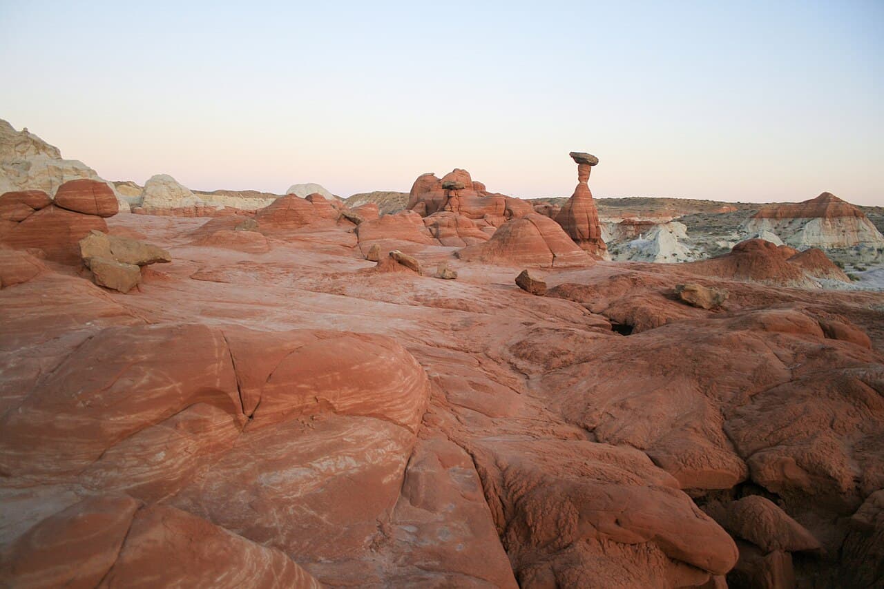
Finding the trailhead
This is the part that goes wrong. The trailhead is a small dirt pullout directly off US-89, between mile markers 19 and 20, with no advance warning sign. Drivers coming east from Kanab routinely spot it too late, carry on, and have to find somewhere to turn around on a highway with few places to do it.
Once you are in, there is a small information board and a trail register. The parking area is unpaved but flat, and a standard rental car handles it without difficulty. There is no gate and no opening time, which is what makes sunrise and sunset visits practical here in a way they are not at ticketed sites.
The hike, and what the sign says
Most write-ups give the hike as 1.5 miles round trip. The sign at the trailhead is more precise and slightly different: it describes a route of 0.8 miles that ends at a rock alcove. In other words, 0.8 out and 0.8 back if you walk the whole thing, which is where the 1.5-mile figure comes from once rounded.
The route follows a sandy wash rather than a constructed trail. Footing is uneven and there is no meaningful elevation change. It is suitable for children and dogs, with the caveat that sand walking is more tiring than the distance suggests. Coming out of the wash, the main group of hoodoos appears in front of you. Note where you exited the wash so you take the same branch on the way back, because they look alike from the open ground.
Allow 45 minutes to an hour. The temptation is to allow 30, and then spend longer than planned because the formations photograph well from several angles.
It is free. What free leaves out.
No permit, no reservation, no fee and no guide requirement. In this corridor that is close to unique, and it is the honest reason to stop. But free here buys you a pullout, a sign and a register, and nothing else at all. Worth knowing before you arrive:
| What you might expect | What is actually there |
|---|---|
| Toilets at the trailhead | None. Nearest are at the Paria Contact Station or back in town |
| Drinking water | None. Bring your own, even for an hour |
| Shade on the route | None at all. Open desert and reflective pale rock |
| A marked trail | A sandy wash and a register. Route-finding is easy but it is not a built path |
| Phone signal | Patchy along this stretch of US-89 |
| A big site | Walkable in under an hour. Smaller than wide-angle photographs suggest |
None of this is a reason to skip it. It is a reason to arrive with water and at a sensible hour, which is the difference between a good stop and a miserable one.
When to go, and when not to
The two good windows are the first hour after sunrise and the last two before sunset. Low sun throws the caps into relief and gives the pale badlands behind them some colour, which is why almost every published photograph of the Toadstools is a low-light one. Sunrise has the extra advantage of near-certain solitude.
Midday in summer is the version to avoid. There is no shade on the route and the pale rock reflects heat upward, so it feels hotter than the air temperature suggests. One visitor arriving at half past one in early April described it as already punishing, and April is not the hot part of the year here. October through April the middle of the day is perfectly manageable.
Where it fits on the Kanab to Page drive
US-89 between Kanab and Page is a drive most visitors to this region make at least once, and it is largely empty. The Toadstools sit roughly in the middle of it, near Big Water, which makes them the natural place to break the journey. An hour here turns a transfer into part of the trip.
The two ends of that same corridor are where the paid attractions cluster. At the Page end, the slot canyons on Navajo land, which are the opposite proposition to the Toadstools in every way: guided, ticketed, busy and spectacular.
Lower Antelope Canyon Hiking Tour
The guided hour through Lower Antelope Canyon, at the Page end of the same stretch of US-89. The strongest review base of any tour in the area. Navajo guide and permit included, which is the part you cannot do yourself.
At the Kanab end, the slot canyons on BLM and state land are cheaper and much quieter, and reachable in a short guided run that fits the same kind of gap in a day as the Toadstools do.
Peek-a-Boo Slot Canyon Small Group Tour from Kanab
Ninety-minute small-group trip into the red slot canyon outside Kanab, 4x4 approach included. A third of the price of the Navajo canyons and a fraction of the crowds, at the other end of the same drive.
If you are waiting on a Wave permit
There is one group of visitors for whom the Toadstools are more than a roadside stop. The Daily Lottery for The Wave can only be entered from a mobile device while you are physically inside a geofenced area that follows the US-89 and AZ-389 corridors between Kanab and Page. The Toadstool trailhead is inside it.
A Daily Lottery attempt takes three days: you apply two days before the hike date between 6am and 6pm, collect the permit and sit a safety briefing the next morning, and hike on the third. That leaves mornings to fill without leaving the area, and a free hour-long walk on the highway you are already driving is close to purpose built for it. The full sequence is in our guide to The Wave permit lotteries.
Frequently asked questions
Do you need a permit for the Toadstool Hoodoos?
No. There is no permit, no reservation, no timed entry and no fee. The trailhead has a small dirt parking area, an information sign and a trail register, and that is the whole formality. This is unusual for the area: almost everything else worth seeing between Kanab and Page needs either a Navajo guide (Antelope Canyon), a BLM lottery permit (The Wave, Coyote Buttes) or a parking fee (Horseshoe Bend).
How long is the Toadstool Hoodoos hike?
The sign at the trailhead gives 0.8 miles to the rock alcove at the end of the route, so about 1.5 to 1.6 miles round trip. Most people take 45 minutes to an hour including time to photograph the formations. The route follows a sandy wash with uneven footing rather than a built trail, and it is flat enough for families and dogs.
Where exactly is the Toadstool Hoodoos trailhead?
On US-89 between mile markers 19 and 20, in the stretch between Kanab, Utah and Page, Arizona, near Big Water. The trailhead coordinates are 37.1025, -111.8741. Use those rather than a place name: the pullout is small, unmarked from a distance, and descriptions online disagree about whether it sits east or west of the Paria Contact Station.
Is it hard to find the turning?
Yes, and this is the single most common complaint. The parking area is a small dirt pullout directly off the highway with no advance signage, and drivers coming from the Kanab side regularly pass it and have to turn around further down US-89. Set the coordinates in your phone before you leave town, because mobile coverage along that stretch is patchy and you may not be able to look them up on arrival.
Are the Toadstool Hoodoos worth stopping for?
As an hour out of a driving day between Kanab and Page, yes. As a destination you drive to specifically, probably not. The formations are genuinely odd, balanced caps of harder dark rock sitting on softer pale pedestals, and the badlands behind them are striking. They are also smaller than wide-angle photographs suggest, and the whole site is walkable in under an hour. Treat it as the best free stop on that road, not as a half-day.
Is there shade, water or a toilet at the trailhead?
No shade on the route, no water and no facilities at the parking area. The hike crosses open desert and pale rock that reflects heat back at you. Carry your own water even for a walk this short, and in summer do it early or late rather than in the middle of the day.
Which monument are the Toadstool Hoodoos in?
Grand Staircase-Escalante National Monument, managed by the BLM. The area is officially called the Paria Rimrocks, or simply the Rimrocks, and the formations themselves are the Toadstools. Some travel pages place them in Vermilion Cliffs National Monument, which is the neighbouring monument on the other side of US-89, and that is where the confusion comes from.
Can you combine the Toadstool Hoodoos with The Wave?
They are not combinable as a hike, since The Wave needs a permit and a 6.4-mile unmarked route, but they sit in the same corridor. The Toadstool trailhead is inside the geofence used for the Daily Lottery for Coyote Buttes North, which means it is a legitimate way to spend one of the mornings you have to be in the area anyway while waiting on a lottery result.
Are the Toadstool Hoodoos good for photography?
Early and late, yes. The caps throw long shadows at low sun and the pale badlands behind them pick up colour at sunset, which is when most of the published photographs are taken. Midday is the worst case: flat light, washed-out pale rock and no shade to wait in. Sunrise has the added advantage that you will probably have the place to yourself.
Written by Diego Fresno, travel writer and independent publisher covering the American Southwest. The trailhead coordinates, the 0.8-mile figure quoted from the BLM sign and the absence of facilities in this guide were cross-checked against on-the-ground reports from 2025 and the BLM's own designation of the area, in October 2026.. Verified quarterly: last review April 2026. About the author →
Related guides
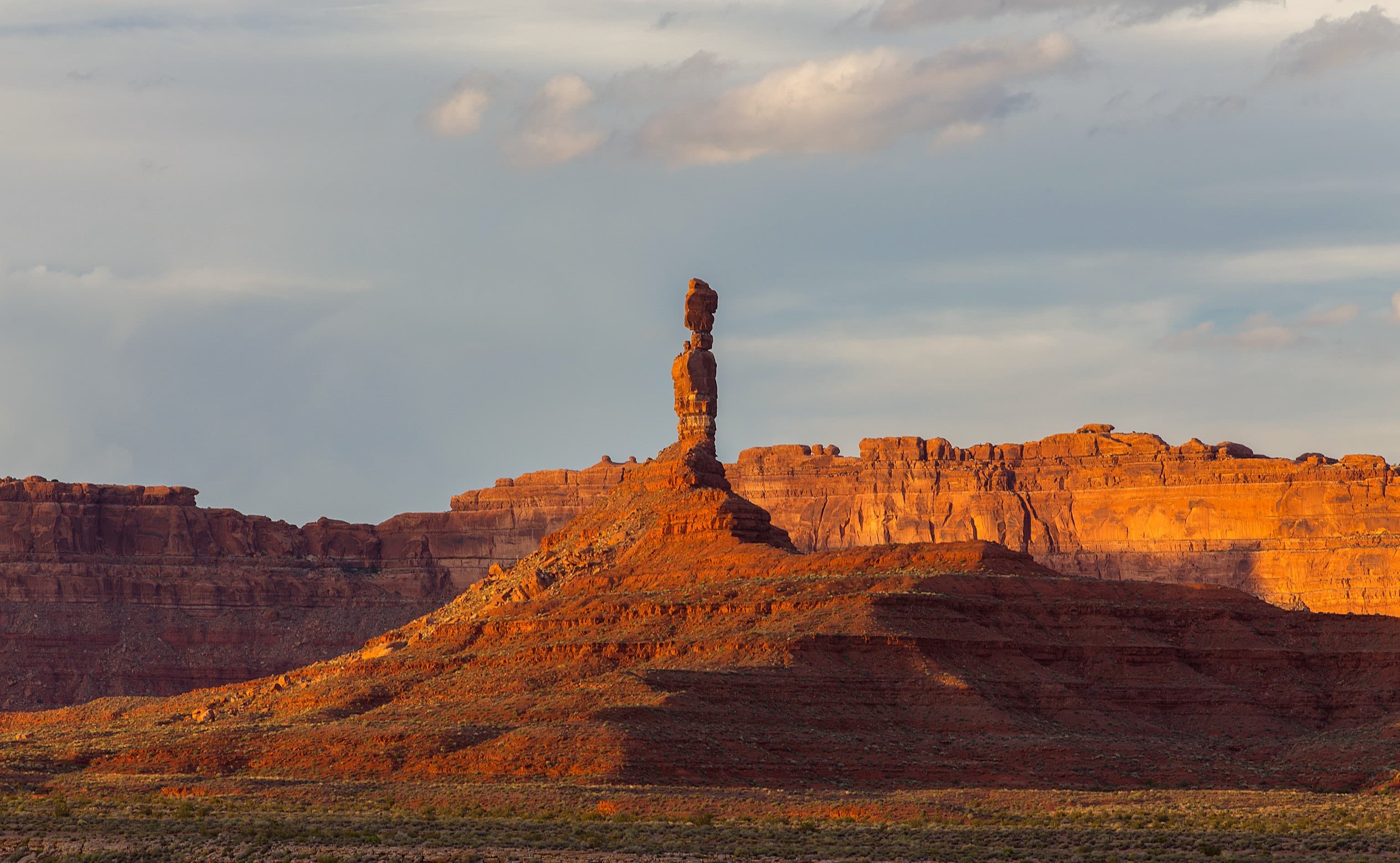
Kanab, Utah: the complete guide
The western end of this drive: Zion's east entrance, Bryce, the North Rim, Coral Pink Sand Dunes and Best Friends.
Read more →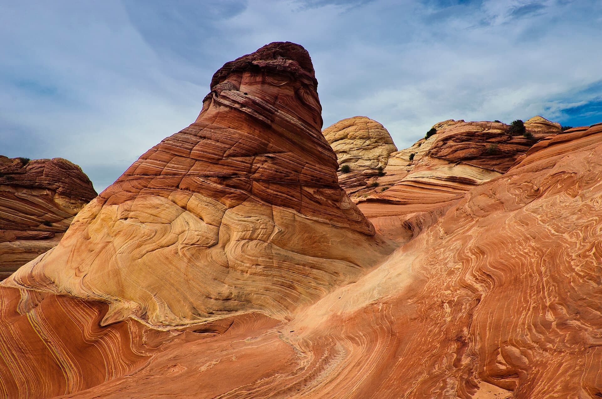
The Wave: permits, the lottery and the hike
Both BLM lotteries explained, the three days a Daily Lottery attempt takes, and the time zone trap that voids permits.
Read more →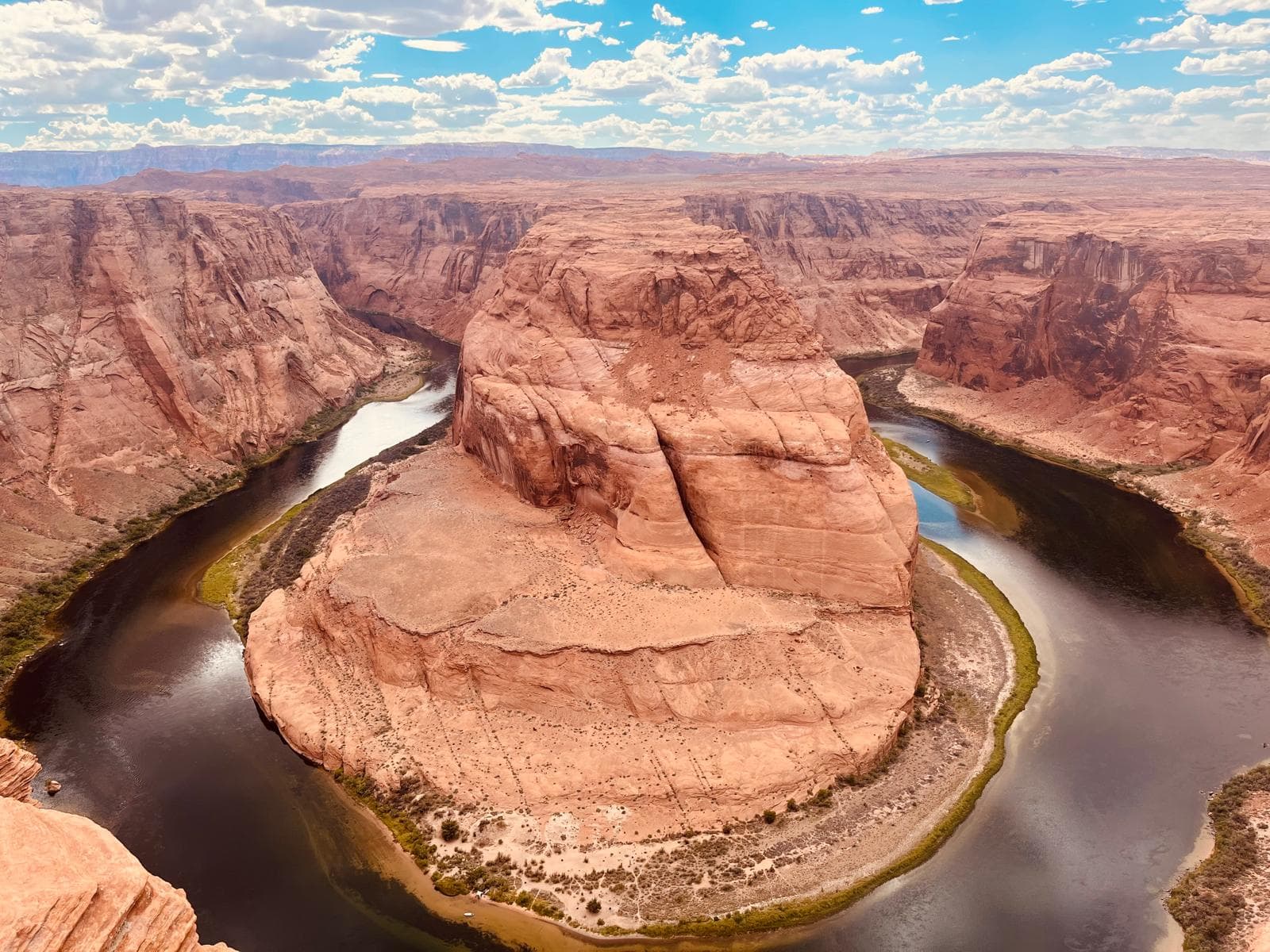
Page, Arizona: the complete visitor guide
The eastern end: Antelope Canyon, Horseshoe Bend, Lake Powell, hotels and when to go.
Read more →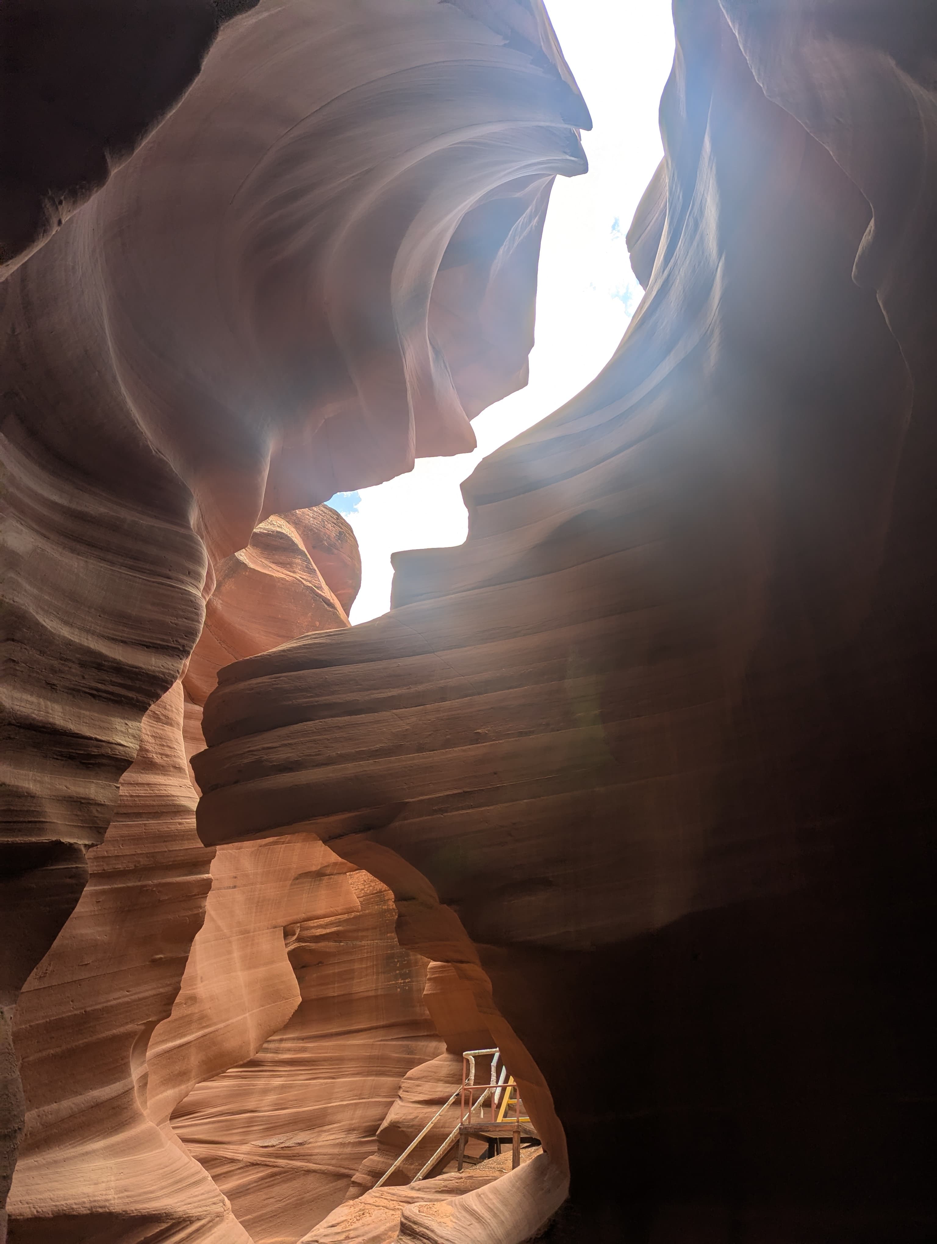
Slot canyons of Arizona and Utah
Every slot canyon in the region compared on difficulty, price, permits and whether you need a guide.
Read more →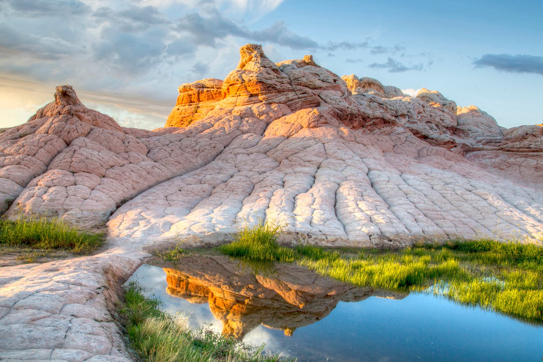
Vermilion Cliffs National Monument
The monument on the other side of US-89: White Pocket, Coyote Buttes and how to visit.
Read more →